


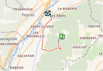

12.1 km | 18.1 km-effort

Tous les sentiers balisés d’Europe PRO


FREE GPS app for hiking
 SityTrail
IGN / Geographical institutes
SityTrail World
The world is yours!
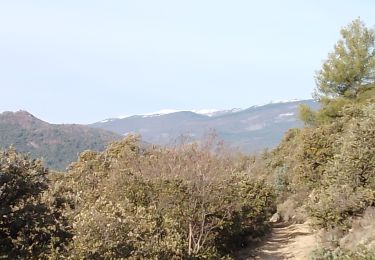
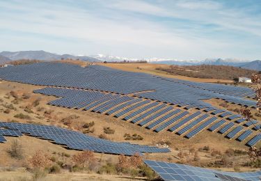
Trail On foot of 6.1 km to be discovered at Provence-Alpes-Côte d'Azur, Alpes-de-Haute-Provence, Les Mées. This trail is proposed by SityTrail - itinéraires balisés pédestres.


Walking

Walking

Walking

Walking
Walking

Running
Walking
Walking
Walking